14709 Views
sustainability
From diesel to hybrid, and from electric to hydrogen. What will be the future of cars?
It does not require imported fuels or polluting external batteries that generate political conflicts.
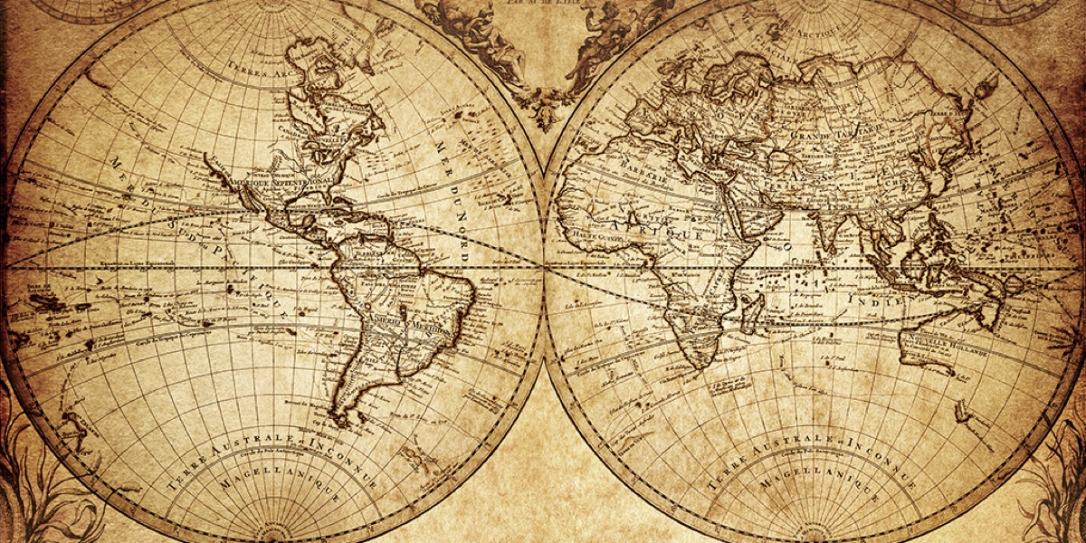
One of the greatest advances of the Renaissance didn’t have to do with painting or humanism but with the world of cartography, when maps were no longer drawn by hand but printed. But a cartographic historian of the University of London, Jerry Brotton, says that this revolution is nothing compared to what’s going on today in the world of maps. “What happened before was huge, but what’s happening today is even bigger,” he recently wrote in a study.
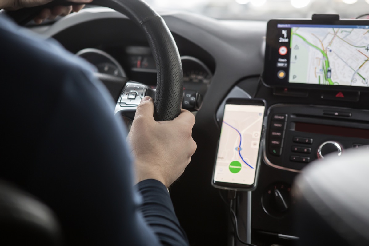
GPS –or the Global Positioning System– is changing the way we move. Applications like Google Maps, Waze and TomTom are guiding us along new roads, relegating the traditional paper map to a forgotten corner of a car’s glove compartment. But GPS isn’t limited to just telling us when to turn right: its new functions include detecting and even predicting traffic jams, warning us of roads that are closed and of weather conditions, and providing valuable information about what caused an accident. And at the same time, it’s transforming the role of maps in our lives.
Countries all over the world are taking advantage of GPS technology to achieve greater road safety. International transportation departments are uploading geospatial data onto what’s become a virtual highway. It’s mapping each road, traffic sign and guardrail. And while it’s a huge job, the benefits are clear.
Just 10 or 20 years ago, cities were labyrinths we could traverse only by studying maps and paying attention to signs. Trips had to be planned, memorised and carried out, always paying attention to just what kilometre we were at and the number of the exit where we had to get off the highway. An accident, traffic jam or blocked road surprised drivers and gave them little time to react. Today we listen to all that information via machines that tell us what direction to take or what unknown occurrences might be lying in wait along the highway. A co-pilot’s job is limited to changing the song.
Nobody questions that GPS had made trips more comfortable. The challenge now is to make them safer. One of the lesser-known but more useful functions of these devices is their role in faithfully registering a possible accident. Insurance companies and investigating agents have a much easier job now thanks to these apps, which are real ‘black boxes’ on vehicles.
These devices can also provide clues to different traffic regulatory bodies about dangerous stretches of road or where traffic jams tend to occur. The fact that everyone uses them is what makes them so accurate. Hundreds of millions of people provide Google with data in real time –data that the technological giant then uses to analyse traffic and road conditions.
This how they work: all the iPhones that have Google Maps opened, and the Androids that have location services, send anonymous data to Google. This allows it to determine how many cars there are and at what speed they are moving on every road at any time. Thus it’s possible to find out when there has been an accident, a traffic jam or even a marathon –because a large group of people are seen to be moving faster than people tend to move at a time when there are no cars on the road.
The idea is not just to warn us of traffic jams but, eventually, to even prevent them from occurring. The digital cartography specialist TomTom recently explained that it has a role to play in reducing traffic jams. The idea is not just to save us time but to cut down on contamination and make driving more efficient. Nevertheless, TomTom has recognised that it’s only an organisation within a much larger system of governments, institutions, companies and individuals. If we want digital cartography to be an even greater revolution, we should all work together.