12425 Views
Roadtrends
The car, a fun divan, and also a karaoke
The apparently inconsequential conversations of 'Pulp Fiction', the 'Bohemian Rhapsody' performed by the protagonists
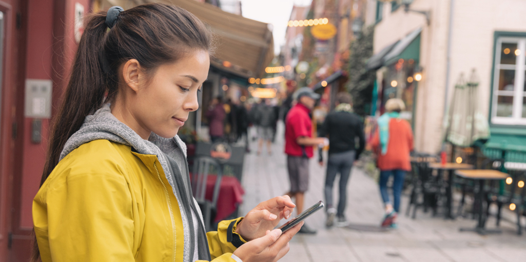
Navigators and mobile apps have replaced the road maps we’ve known all our life. All these new devices have come along to make things easier when we start a journey or set off for a place we’ve never been to before (or if we have been there, we never learned the road). Besides calculating the route and the time necessary to cover it, they inform us, in real time, about traffic problems, streets that are closed, and other things we might encounter along the way.
Nevertheless, most of these interactive maps suffer from the same drawbacks as their paper predecessors: they are designed for travel by car. But what happens when we get ready for traveling on foot or by some other means? Are they just as reliable?
In many cases, no. Jesús Balado explains why: “When calculating a route for walkers on an app like Google Maps, it follows the same path as if it were a car. It doesn’t show where to cross the street or if there are sidewalks, and even less whether the pedestrian crossings have the minimum width for a wheelchair. At best, it might indicate the existence of stairs or pedestrian paths, and in most situations it just assumes that alongside a road there will be a sidewalk.”
This is one of the conclusions of his doctoral thesis Classification and modeling of urban environments from point clouds for physical accessibility diagnosis and pedestrian pathfinding. The work earned this engineer from the University of Vigo the prize in the Road Safety category of the last edition of the Prizes for Infrastructure Management in Road Transport and Safety, awarded by the Cátedra Abertis.
In his essay, Balado proposes laying out urban routes for different kinds of mobility. He does this through a model –constructed on the basis of geometric, topographic and semantic information– that is capable of calculating different itineraries that take into account urban objects and other factors that might interfere in the course of the trip, or the accessibility of the buildings.
“Our method is based on real information about the area, which we obtain from the point cloud picked up by a mobile laser scanner. It’s the same technology used by autonomous vehicles. The vehicle has a laser that scans the surroundings and obtains 3D information. And within this information we seek geometries that are related to physical accessibility, and we analyze geometries (curbs, the height of steps, flatness of sidewalks, width of sidewalks, inclinations, distances between objects, etc.) and topology (connections between road, curbs, sidewalks and ramps). Based on that information, we identify the elements that make up the navigable ground and we generate a real map for pedestrians.”
The purpose of this model, Balado explains, is to enrich already existing maps with specific information for the pedestrian, and so that routes generated by mobility applications will no longer be based on the highway network, which is what happens at present.
“This methodology could become one more urban mobility app to deal with realistic pedestrian routes. Moving around on foot is a fundamental part of developing apps for different modes of mobility, where alternative ways of transportation are also integrated. If these mobility apps are integrated into a calculation of real routes for pedestrians, we could inform the user if it is possible to achieve his objective, or if along the way there is some physical barrier that will force him to make a detour or oblige him to take some other means of transport.”

These new maps join the efforts that for some time now have been made in cities all over the world to reclaim space from cars in favor of pedestrians and more sustainable vehicles. “This improvement cannot be limited to the center of cities. People need to move through spaces that are pleasant, safe and green until they reach shops, public services or even motorized transportation.”
To develop his thesis, Balado selected different parts in the cities of Vigo and Avila to study accessibility and calculate pedestrian routes. After applying the methodology, they generated maps with accessibility data for two kinds of people: a person without reduced mobility and a person in a wheelchair. “The routes based on these maps identify the fastest option depending on the accessibility of the user: using stairs or ramps as appropriate and always crossing the street on pedestrian walkways.”
Indeed, what most caught the attention of Balado and his team was “the obsession for installing unusable ramps” on many streets. “When studying data about an area to evaluate the quality of the algorithms, we found a great number of ramps that don’t satisfy either existing legislation or even common sense, both with regard to urban areas and the entrances to buildings. For example, there were ramps with inclines of more than 45 degrees, and with a width of just half a meter, and even ramps that ended in steps.” Urban and architectural follies that are being remedied by solutions like those from Balados.